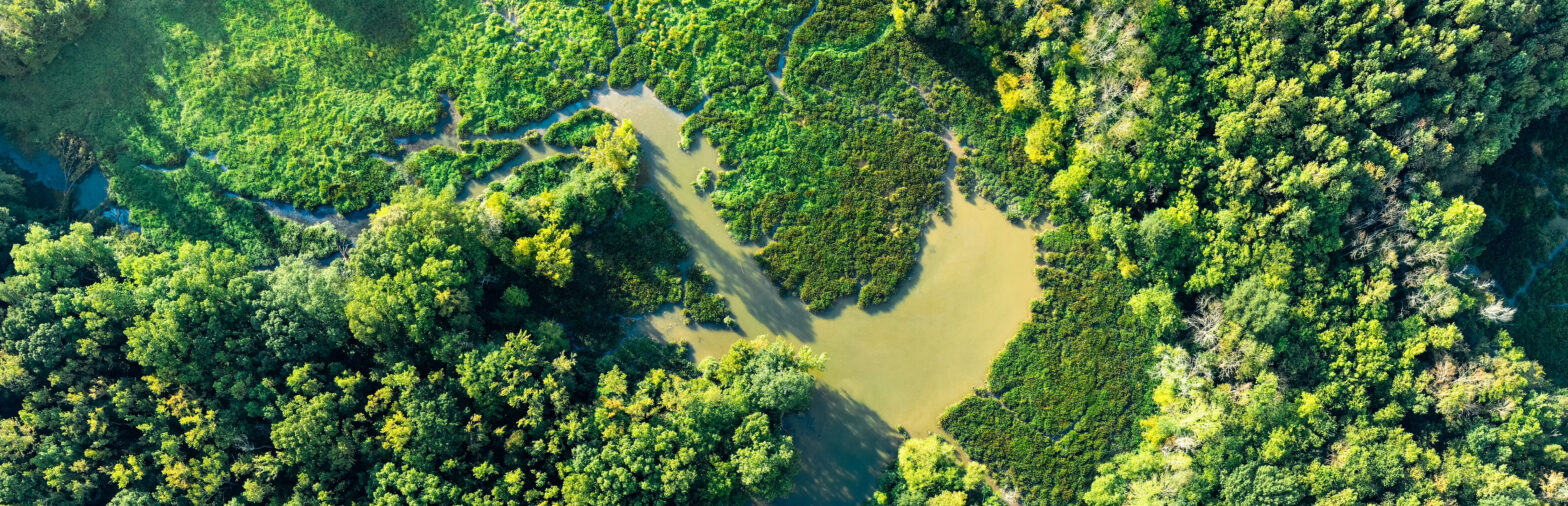
Description: This module introduces students to satellite- and drone (UAV)-based Earth observation, covering the fundamentals of remote sensing for environmental and geospatial applications. The module includes lectures on the basics of remote sensing, practical exercises focused on data acquisition using drones, and seminars on software applications and data processing techniques. Students will learn advanced image processing, analysis, and modelling methods to generate higher-value products, such as land cover classifications and predictive models, supporting decision-making in various scientific and applied fields.
Learning outcomes: Explain the fundamental principles of remote sensing and Earth observation. Acquire, process, and analyse remote sensing data for ecological and environmental applications. Apply advanced image processing and modelling techniques to generate actionable products, such as land cover classifications and predictive models. Critically evaluate the quality, accuracy, limitations, and uncertainties of remote sensing data and derived products. Integrate remote sensing outputs into ecological forecasting workflows to support scientific and management decisions.
Module group: Foundations of Ecological Forecasting
Credits: 5 ECTS
Lecturers: Prof. Dr. Tobias Ullmann, Dr. Jakob Schwalb-Willmann